


Click Image to Enlarge
Alabama Counties
Alabama currently has sixty-seven counties. The oldest county, Washington, was created on June 4, 1800, when what is now Alabama was then part of the Mississippi Territory. The newest county is Houston, created on February 9, 1903.Cherokee County, Alabama History
Cherokee County Education, Geography, and History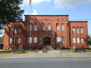
Cherokee County is a county of the state of Alabama. Based on the 2010 census, the population was 25,989. Cherokee County was created on January 9, 1836 and was formed from the Creek Cession of 1835. The county seat is Centre, and it is a prohibition or dry county. The county is named for the Cherokee tribe.
Etymology - Origin of Cherokee County Name
It was named for the Cherokee Indians, who ceded the land that now comprises the county to the Federal government by the treaty of New Echota, December 29, 1835.
Demographics:
County QuickFacts: CensusBureau Quick Facts
County History
Cherokee County, Alabama
Cherokee county was formed by the Alabama legislature on January 9,
1836. The county was named for the Cherokee Indians, who ceded the land that now comprises the county to the Federal government by the treaty of New Echota,
on December 29, 1835. Cherokee County is located in the northeastern portion of the state, in the Appalachian Mountains.
The county encompasses 553 square miles. Cherokee county is bordered on the north by DeKalb County, on the west by Etowah County, on the south by Calhoun and Cleburne, and the east by Chattooga and Floyd Counties, GA.
For the first ten years, the residents of Cherokee County quarreled over the location of a county seat. In 1837, the Alabama legislature authorized the seat of county government to be established at Cedar Bluff.
An election was held in 1844 and the county seat was moved to the town of Centre. Other towns and communities include Jamestown, Gaylesville, Forney, and Rock Run.
Geography: Land and Water
According to the 2000 census, the county has a total area of 600 square miles (1,600 km2), of which 554 square miles (1,430 km2) (or 92.19%) is land and 46 square miles (120 km2) (7.7%) is water. It is the second-smallest county in Alabama by land area.
The Coosa River runs through the southwestern corner of the
Cherokee county, and its tributaries, Little River and Terrapin
Creek, intersect the area. In the 1960s, the Coosa River was dammed
to create Weiss Lake, a 30,000-acre reservoir that stretches across
the center of the county.
Neighboring Counties
Bordering counties are as follows:
- Northeast: Chattooga County, Ga.
- East: Floyd County, Ga.
- Southeast: Polk County, Ga.
- South: Cleburne County
- Southwest: Calhoun County; Etowah County
- Northwest: DeKalb County
Education


Click Image to Enlarge
