


Click Image to Enlarge
Illinois Counties
There are one hundred and two counties in Illinois. St. Clair County was the first county established in what is today Illinois. Most counties in Illinois were named after early American leaders, especially of the American Revolutionary War, as well as soldiers from the Battle of Tippecanoe and the War of 1812.Alexander County, Illinois
Alexander County Education, Geography, and History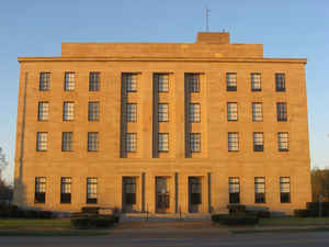
Alexander County is the southernmost county of the state of Illinois. Based on the 2010 census, the
population was 8,238. Alexander County was
created on March 4, 1819. The county
seat
is Cairo. This county is named for William M.
Alexander, a settler and state representative in the Illinois General
Assembly.
Alexander County is part of the Cape Girardeau, MO-IL Metropolitan Statistical Area.
Etymology - Origin of Alexander County Name
The county is named for William M. Alexander, early settler of the district and state representative in the second and third General Assemblies.
Demographics:
County QuickFacts: CensusBureau Quick Facts
Alexander County History
First county organized in Illinois. March 14, 1819. Separated from Union County in 1819. Sometimes referred to as
the foot hills of the Ozarks. Named for Dr. William M. Alexander, State Representative
The first settlement goes back to 1805. Alexander County forms the southern extremity of the state and is bounded by the Mississippi River on the west and south, by the Ohio and Cache Rivers on the east and by Union County on the north. There were very few people in the territory in 1819 at the time of the formation of the county. In 1820, considerably more than one year after its organization, there were, according to the United States census, but 625 souls and it must be borne in mind that in that enumeration was included nearly all of what is now Pulaski County. The only towns of importance at that time were America and Caledonia, both now in Pulaski County.
Geography: Land and Water
As reported by the Census Bureau, the county has a total area of 253 square miles (654 km2), of which 236 square miles (612 km2) is land and 16 square miles (42 km2) (6.40%) is water.
Alexander county is located in south Illinois. Parts of Cypress
Creek National Wildlife Refuge, Shawnee National Forest, and Horseshoe
Lake State Fish & Wildlife Area are in this
county. The county borders are partly defined by the
Mississippi River and the Ohio River.
Neighboring Counties
Bordering counties are as follows:
- North: Union County
- East: Pulaski County
- Southeast: Ballard County, Ky.
- South: Mississippi County, Mo.
- Southwest: Scott County, Mo.
- Northwest: Cape Girardeau County, Mo.
Education
- Cairo Unified School District 1
- Century Community Unit School District 100
- Egyptian Community Unit School District 5
- Meridian Community Unit School District 101
- Shawnee Community Unit School District 84


Click Image to Enlarge
