

Click Image to Enlarge
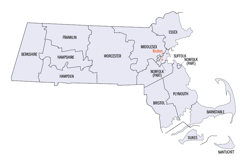
Massachusetts Counties
Massachusetts consists of the fourteen counties. Massachusetts has abolished seven of its fourteen county governments, leaving five Counties with county-level local government (Barnstable, Bristol, Dukes, Norfolk, Plymouth) and two, Nantucket County and Suffolk County, with combined county/city government. The oldest counties still in Massachusetts are Essex County, Middlesex County, and Suffolk County, created in 1643 with the original Norfolk County which was absorbed by New Hampshire and bears no relation to the modern Norfolk County.Dukes County, Massachusetts
Dukes County Education, Geography, and History
The County of Dukes County is a county located in the state of Massachusetts. Based on the 2010 census, the population was 16,535, making
it the second-least populous county in Massachusetts. Its county seat is Edgartown.
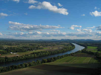
Dukes County comprises the Vineyard Haven, MA Micropolitan Statistical Area. The county consists of the island of Martha's Vineyard,
Chappaquiddick Island, the Elizabeth Islands (including Cuttyhunk) and other associated islets.
Etymology - Origin of Dukes County Name
Formerly a part of Dukes County, New York until 1691, the land at one time was literally the possession of the Duke of York
Demographics:
County QuickFacts: CensusBureau Quick Facts
Dukes County History
The county consists of the island of Martha's Vineyard, and the Elizabeth Islands (including Cuttyhunk). It was originally established as Dukes County, New York on November 1, 1683, and was transferred to Massachusetts and divided so that Nantucket Island became Nantucket County, Massachusetts on October 7, 1691. The statute created a county "by the name of Dukes County," as opposed to the standard form "the county of Dukes" which is the reason for the redundancy in the name.
The 1695 incorporation statute created a county "by the name of Dukes County," as opposed to the standard form "the county of Dukes" which is the reason for the redundancy in the formal name, "County of Dukes County"
Geography: Land and Water
As reported by the Census Bureau, the county has a total area of 491 square miles (1,272 km2), of which, 104
square miles (269 km2) of it is land and 387 square miles (1,003 km2) of it is water. The total area is 79% water.
Neighboring Counties
Bordering counties are as follows:
- Northeast: Barnstable County
- East: Nantucket Sound; Muskeget Channel
- South: North Atlantic Ocean
- Northwest: Vineyard Sound; Buzzards Bay
Education


Click Image to Enlarge
