


Click Image to Enlarge
Missouri Counties
Missouri has one hundred and fourteen counties and one independent city. St. Louis City is separate from St. Louis County and is referred to as a "city not within a county." Following the Louisiana Purchase and the admittance of Louisiana into the United States in 1812, five counties were formed out of the Missouri Territory at the first general assembly. Most subsequent counties were apportioned from these five original counties.Madison County, Missouri
Madison County Education, Geography, and History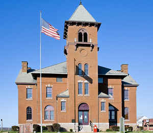
Madison County is a county located in the Lead Belt region of the state of Missouri. Based on the 2010 census, the population was 12,226. Its county seat and largest city is Fredericktown. The county was officially organized on December 14, 1818, and was named after President James Madison
Etymology - Origin of Madison County Name
Named for United States President James Madison.
Demographics:
County QuickFacts: CensusBureau Quick Facts
History of Madison County
Bounded on the north by St. Francois County, on the east by Perry and Bollinger counties, on the south by Bollinger and Wayne, and on the west by Iron County, Madison was created by Territorial Legislation in 1818. Originally the boundary on the west was Black River; it was reduced to its present size in 1867 when Iron County was formed. Originally the county was divided into three townships, viz: Castor (east), St. Michael (west), and Liberty (north). In 1821 two new townships were organized, Twelve Mile and German. At present there are ten townships. The first settlement within Madison County was made at Mine La Motte (q.v.). The county seat was established at Fredericktown (q.v.), in 1819. The name was given in honor of James Madison (1751-1836), President of the United States from 1809-1817, during the War of 1812. (Douglass I 167, Conard, Goodspeed 339-342)
Source: Hamlett, Mayme L. "Place Names Of Six Southeast Counties Of Missouri." M.A. thesis., University of Missouri-Columbia, 1938.
Geography: Land and Water
As reported by the Census Bureau, the county has a total area of 498 square miles (1,290 km2), of which 494 square miles (1,280 km2) is land and 3.2 square miles (8.3 km2) (0.6%) is water.
Neighboring Counties
Bordering counties are as follows:
- St. Francois County (north)
- Perry County (northeast)
- Bollinger County (east)
- Wayne County (south)
- Iron County (west)
Education
Of adults 25 years of age and older in Madison County, 68.6% possesses a high school diploma while 7.8% holds a bachelor's degree as their highest educational attainment.
Public schools
Fredericktown R-I School District - Fredericktown
Marquand-Zion R-VI School District - Marquand
Private schools
Faith Christian Academy - Fredericktown


Click Image to Enlarge
