


Click Image to Enlarge
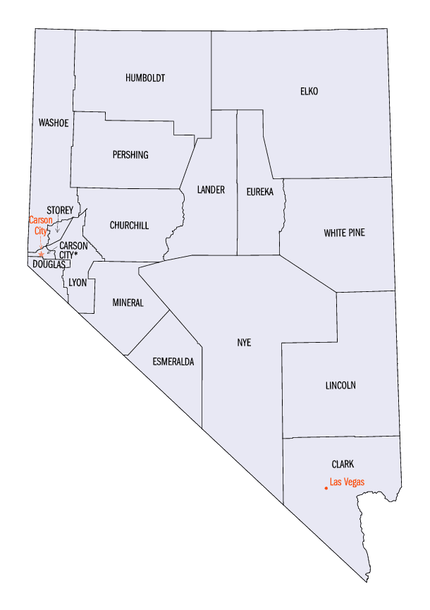
Nevada Counties
There are sixteen counties and one independent city in the state of Nevada. On November 25, 1861, the first Nevada Territorial Legislature established nine counties. Nevada was admitted to the Union on October 31, 1864 with eleven counties. In 1969, Ormsby County and Carson City were consolidated into a single municipal government known as Carson City.Esmeralda County, Nevada
Esmeralda County Education, Geography, and History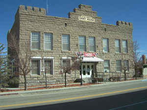
Esmeralda County is a county in the west of state of Nevada. Based on the 2010 census, the population was 783, making it the least populous county in Nevada. Esmeralda County has no incorporated communities. Its county seat is the Census Designated Place of Goldfield
Etymology - Origin of Esmeralda County Name
Esmeralda is the Spanish and Portuguese word for "emerald". An early California miner from San Jose Ca (descended from the Cory family of New Jersey), James Manning Cory, named the Esmeralda Mining District after the Gypsy dancer, Esmeralda, from Victor Hugo's novel, The Hunchback of Notre Dame.
Demographics:
County QuickFacts: CensusBureau Quick Facts
Esmeralda County History
November 25, 1861 - The name means emerald in Spanish, given to the mining district by J. M. Corey, an explorer of the area.
Esmeralda County is one of the original counties in Nevada, established in 1861.
Esmeralda has had three county seats: Aurora until 1883, Hawthorne from 1883 to 1907 and finally Goldfield. At one point, due to the disputed
border with California, Aurora was simultaneously the county seat of both Mono County, California and Esmeralda County, Nevada.
Esmeralda grew from a gold mining boom in the first years of the 20th century. The mines were largely tapped out
by the end of the 1910s and the economy and population declined afterwards.
Geography: Land and Water
As reported by the Census Bureau, the county has a total area of 3,589 square miles (9,295 km2), of which,
3,588 square miles (9,294 km2) of it is land and 0 square miles (1 km2) of it (0.01%) is water. A very small part of
Death Valley National Park lies in its southeast corner.
The county is dominated by the Silver Peak and Monte Cristo mountain ranges.
Neighboring Counties
Bordering counties are as follows:
- Mineral County - northwest
- Nye County - east
- Inyo County, California - south
- Mono County, California - west
Education
Its school district has no high school, so students in grades 9-12 go to school in Tonopah and are in the database of the Nye County School District. The Esmeralda County School District has three elementary schools that currently serve approximately 90 students.


Click Image to Enlarge
