

Click Image to Enlarge
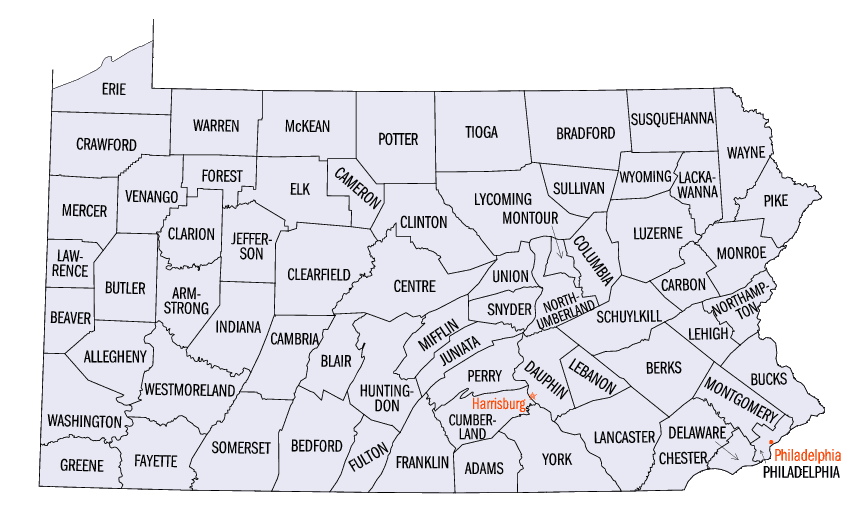
Pennsylvania Counties
There are sixty-seven counties of the Commonwealth of Pennsylvania in the United States of America. The city of Philadelphia is coterminous with Philadelphia County, and governmental functions have been consolidated since 1854.Elk County, Pennsylvania
Elk County Education, Geography, and History
Elk County is a county located in the state of Pennsylvania. Based on the 2010 census, the population was 31,946. Its county seat is Ridgway. The county was created on April 18, 1843, from parts of Jefferson, Clearfield and McKean Counties, and is named for the Eastern elk that historically inhabited the region.
Etymology - Origin of Elk County Name
Named for the elk that roamed the county.
Demographics:
County QuickFacts: CensusBureau Quick Facts
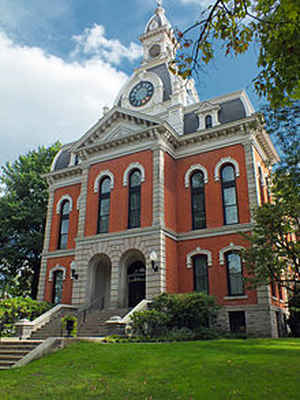
Elk County History
Elk County was created on April 18,
1843, from parts of Jefferson, Clearfield, and McKean Counties and named for the
elk that roamed the county. Ridgway, the county seat, was laid out in 1833 and
named for Jacob Ridgway, a local landowner. It was incorporated as a borough on
February 15, 1881.
Land speculation companies owned this area after it was acquired by Pennsylvania
at the Treaty of Fort Stanwix of 1784- the "Last Purchase." In 1825, a Smethport
to Milesburg Turnpike was incorporated, and a sawmill opened in Ridgway the next
year. Lumber was the basis of the early economy, logs being floated to cities by
the natural waterways. Railroads began to appear in 1864, and by 1890 the county
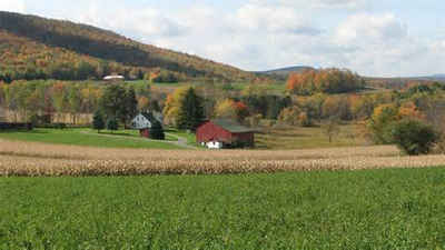
produced coal and oil. Today, powdered metal, paper, and carbon are produced.
Elk is one of the four counties that have large areas lying within the Allegheny
National Forest. The farming area is only 3½ percent of the county. Although the
indigenous elk population was hunted to extinction, a herd introduced from
strains found in the western states now flourishes. Elk was the first county to
have land designated for state game. The original settlers were from upper New
York State and New England. Northern European immigrants then appeared, and
around 1900 immigrants from southern and eastern Europe arrived.
Geography: Land and Water
As reported by the Census Bureau, the county has a total area of 832 square miles (2,155 km2), of which, 829
square miles (2,146 km2) of it is land and 4 square miles (9 km2) of it (0.43%) is water.
Neighboring Counties
Bordering counties are as follows:
- McKean County (north)
- Cameron County (east)
- Clearfield County (south)
- Jefferson County (southwest)
- Forest County (west)
- Warren County (northwest)
Education
Public school districts
Brockway Area School District
Forest Area School District
Kane Area School District
Johnsonburg Area School District
Ridgway Area School District
Saint Marys Area School District


Click Image to Enlarge
