


Click Image to Enlarge
South Carolina Counties
South Carolina is made up of fourty-six counties. They range in size from 392 square miles (1,016 square kilometers) in the case of Calhoun County to 1,358 square miles (3,517 square kilometers) in the case of Charleston County. The least populous county is McCormick County, with only 9,958 residents, while the most populous county is Greenville County, with a population of 395,357, despite the state's most populous city, Columbia, being located in Richland County.Greenville County, South Carolina
Greenville County Education, Geography, and History
Greenville County is a county located in the state of South Carolina. Based on the 2010 census, the population was 451,225,making it the
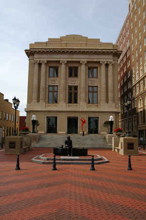
most populous county in the state. Its county seat is Greenville.
Greenville County is included in the Greenville-Anderson-Mauldin, SC Metropolitan Statistical Area.
Etymology - Origin of Greenville County Name
The origins of the name Greenville County are uncertain, but the county was probably named for Revolutionary War General Nathanael Greene (1742-1786) or for an early resident, Isaac Green.
Demographics:
County QuickFacts: CensusBureau Quick Facts
Greenville County History
The origins of the name Greenville County are uncertain, but the county was probably named for Revolutionary War General Nathanael Greene (1742-1786) or for an early resident, Isaac Green. This part of the state was the territory of the Cherokee Indians until 1777. Scotch-Irish and English settlers began moving into the area soon after it was ceded to the state. Greenville District was created in 1786, but from 1791 to 1800 it was part of the larger Washington District. The county seat was originally named Pleasantburg, but in 1831 the name was changed to Greenville. Because of its location in the foothills of the Blue Ridge Mountains, Greenville County became a popular summer retreat for lowcountry planters. Encouraged by abundant streams and rivers, textile manufacturers began operating in the area as early as the 1820s, and after the Civil War Greenville County became a textile center. Diplomat and US Congressman Waddy Thompson (1798-1868) was a resident of Greenville, and in more recent years the county has produced baseball player "Shoeless Joe" Jackson (1887-1951), Nobel Prize winner Charles Townes, and civil rights leader Jesse Jackson.
Geography: Land and Water
As reported by the Census Bureau, the county has a total area of 795 square miles (2,059 km2), of which, 790
square miles (2,046 km2) of it is land and 5 square miles (13 km2) of it (0.61%) is water
Neighboring Counties
Bordering counties are as follows:
- Henderson County, North Carolina - north
- Polk County, North Carolina - northeast
- Spartanburg County, South Carolina - east
- Laurens County, South Carolina - southeast
- Abbeville County, South Carolina - south
- Anderson County, South Carolina - southwest
- Pickens County, South Carolina - west
- Transylvania County, North Carolina - northwest
Education


Click Image to Enlarge
