


Click Image to Enlarge
Texas Counties
Texas is divided into two hundred and fifty-four counties, more than any other state. Texas was originally divided into municipalities, a unit of local government under Spanish and Mexican rule. When the Republic of Texas gained its independence in 1836, there were 23 municipalities, which became the original Texas counties. Many of these would later be divided into new counties. The most recent county to be created was Kenedy County in 1921. The most recent county to be organized was Loving County in 1931Comanche County, Texas
Comanche County Education, Geography, and History
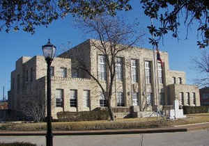
Comanche County is a county located on the Edwards Plateau in Central Texas. Based on the 2010 census, its population was 13,974. The county seat is Comanche. The county was founded in 1856 and is named for the Comanche Native American tribe.
Etymology - Origin of Comanche County Name
the Comanche Native American tribe
Demographics:
County QuickFacts: CensusBureau Quick Facts
Comanche County History
Comanche County is a county located in the US state of Texas. Comanche is named for the Comanche Native American tribe. The seat of the county is Comanche.
Handbook of Texas Online
White settlement in the area began with a colony organized by Jesse Mercer and others in 1854 on lands earlier
granted by Mexico to Stephen F. Austin and Samuel May Williams. F. M. Collier
built the first log house in the county in 1855, and in 1856 the Texas legislature formed Comanche County from
Coryell and Bosque counties; Cora was designated as the county seat. In 1859 the more centrally located town of
Comanche became county seat. By 1860 the United States census counted 709 people living in the county; farming and
ranching occupied 24,730 acres, about 1,880 acres of which was classified as "improved." Twenty-five residents owned
slaves, but there were no large-scale plantations in the area. The population included only sixty-one slaves, and
only two of the county residents owned as many as eight bondsmen; most of the slaveholders owned only one. Cattle
ranching was by far the most important economic activity in Comanche County at that time, and over 14,700 head of
cattle were counted in the area that year. Wheat and corn were the county's most important crops on the eve of the
Civil War; only one bale of cotton was produced in the county in 1860. More at
John Leffler, "COMANCHE COUNTY," Handbook of Texas Online (http://www.tshaonline.org/handbook/online/articles/hcc20),
accessed January 23, 2016. Uploaded on June 12, 2010. Modified on November 24, 2015. Published by the Texas State Historical Association.
Geography: Land and Water
As reported by the Census Bureau, the county has a total area of 948 square miles (2,454 km2), of which, 938
square miles (2,429 km2) of it is land and 10 square miles (25 km2) of it (1.05%) is water.
Neighboring Counties
Bordering counties are as follows:
- Erath County (northeast)
- Hamilton County (southeast)
- Mills County (south)
- Brown County (southwest)
- Eastland County (northwest)
Education


Click Image to Enlarge
