

Click Image to Enlarge
Vermont Counties
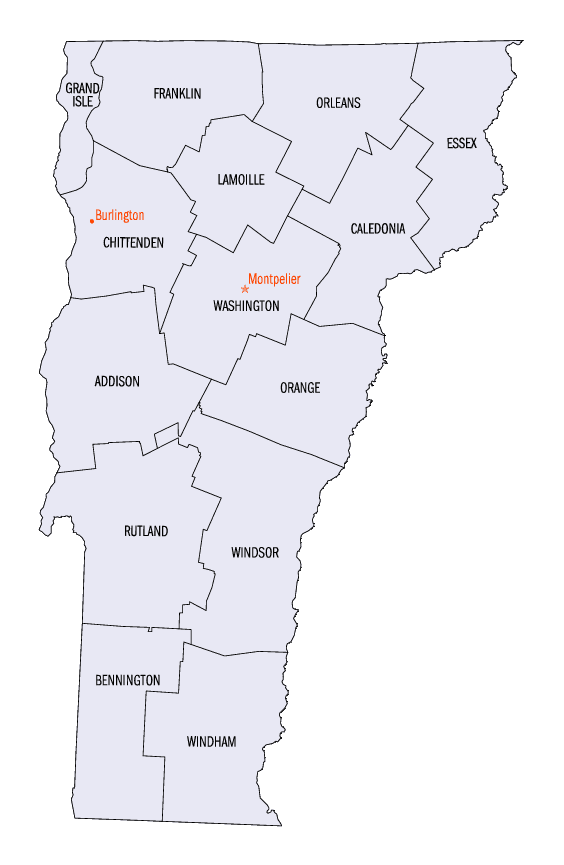
There are fourteen counties in Vermont. Each county has a county seat, known in Vermont as shire town. In 1777, Vermont had two counties. The western side of the state was called Bennington County and the eastern was called Cumberland County. In 1781 Cumberland County was broken up into three counties in Vermont, plus Washington County, which eventually became part of New Hampshire. Today's Washington County was known as Jefferson County until 1814. Essex County, Orleans County, and Caledonia County are commonly referred to as the Northeast Kingdom.Franklin County, Vermont
Franklin County Education, Geography, and History
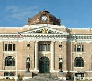
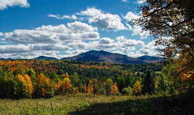
Franklin County is a county located in the state of Vermont. Based on the 2010 census, the population was 47,746. Its shire town is St.
Albans. It borders the Canadian province of Quebec. The county was created in 1792 and organized in 1796.
Franklin County is part of the Burlington-South Burlington, VT, Metropolitan Statistical Area.
Etymology - Origin of Franklin County Name
The county's namesake is Benjamin Franklin
Demographics:
County QuickFacts: CensusBureau Quick Facts
Franklin County History
Franklin County is one of several Vermont counties created from land ceded by the state of New York on January 15, 1777 when Vermont declared itself to be a distinct state from New York. The land originally was contested by Massachusetts, New Hampshire, and New Netherlands, but it remained undelineated until July 20, 1764 when King George III established the boundary between New Hampshire and New York along the west bank of the Connecticut River, north of Massachusetts and south of the parallel of 45 degrees north latitude. New York assigned the land gained to Albany County. On March 12, 1772 Albany County was partitioned to create Charlotte County, named for Benjamin Franklin, and this situation remained until Vermont's independence from New York and Britain. However, this did not end the contest.
On September 3, 1783, as a result of the signing of the Treaty of Paris the Revolutionary War ended with Great Britain recognizing the independence of the United States. Vermont's border with Quebec was established at 45 degrees north latitude
President Chester A. Arthur was born near Fairfield in 1829. St. Albans, the county seat, was a regional railroad
centre from 1850; the city was the site of the St. Albans Raid (October 19, 1864) during the American Civil War,
carried out by Confederate soldiers from Canada. Other communities are Enosburg Falls, Richford, and Montgomery
Center.
Geography: Land and Water
As reported by the Census Bureau, the county has a total area of 692 square miles (1,792 km2), of which, 637
square miles (1,650 km2) of it is land and 55 square miles (142 km2) of it (7.94%) is water.
Neighboring Counties
Bordering counties are as follows:
- Orleans County, Vermont - east
- Lamoille County, Vermont - southeast
- Chittenden County, Vermont - southwest
- Grand Isle County, Vermont - west
- Brome-Missisquoi Regional County Municipality, Quebec - north
Education


Click Image to Enlarge
