


Click Image to Enlarge
Virginia Counties
The Commonwealth of Virginia is divided into ninety-five counties and thirty-eight independent cities, which are considered county-equivalents for census purposes.Surry County, Virginia
Surry County Education, Geography, and History
Surry County is a county located in the Commonwealth of Virginia. Based on the 2010 census, the population was 7,058. Its county seat is Surry.
Etymology - Origin of Surry County Name
Surry is named for the English county of Surrey.
Demographics:
County QuickFacts: CensusBureau Quick Facts
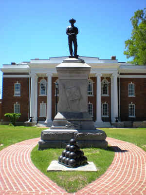
Surry County History
Part of the colony of Virginia, Surry County was formed from a portion of James City County in 1652. It was named for the English
county of Surrey. It included all of the portion of James City County (formed in 1634) that was located south of the James River. Surry
County initially had the Lawne's Creek and Southwark parishes of the Church of England.
Nearby, in 1665, Arthur Allen built a Jacobean brick house. It later became known as Bacon's Castle because it was occupied as a fort or
"castle" during Bacon's Rebellion against the Royal Governor, Sir William Berkeley in 1676. (Nathaniel Bacon never lived at Bacon's
Castle, but resided at Curles Neck Plantation in Henrico County about 30 miles upriver on the northern bank of the James River).
The first town of Cobham was established in 1691 where Gray's Creek empties into the James River. Neighboring Sussex County was formed
from the southwestern end of Surry County in 1754.
Surry County, Virginia formed from James City County. [Virginia Counties: Those Resulting from Virginia Legislation, by Morgan Poitiaux Robinson, originally published as Bulletin of the Virginia State Library, Volume 9, January, April, July 1916, reprinted 1992 by Genealogical Publishing Co., Inc., Baltimore, MD.]
Surry County was named for the county of Surrey in England, and was formed for James City County about 1652. Its area is 306 square miles, and the county seat is Surry.
Geography: Land and Water
As reported by the Census Bureau, the county has a total area of 310 square miles (804 km2), of which, 279
square miles (723 km2) of it is land and 31 square miles (81 km2) of it (10.06%) is water.
Neighboring Counties
Bordering counties are as follows:
- Charles City County, VA to the northwest
- Isle of Wight County, VA to the southeast
- James City County, VA to the north
- Prince George County, VA to the west
- Southampton County, VA to the south
- Sussex County, VA to the southwest
Education


Click Image to Enlarge
