


Click Image to Enlarge
Kentucky Counties
Kentucky has one hundred and twenty counties, third in the US behind Texas's (254) and Georgia's (159.) Washington County was the first county formed in the Commonwealth of Kentucky when it reached statehood, and the sixteenth county formedFayette County, Kentucky
Fayette County Education, Geography, and History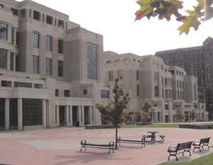
Fayette County is a county located in the
state of Kentucky. Based on the 2010 census, the population was 295,803.
Fayette County was created on June 30, 1780. The territory, population and government are coextensive with the city of Lexington, which also
serves as county seat. The county is
named in honor of Gilbert du Motier, marquis de
Lafayette (1757–1834), French-born Revolutionary War general.
Fayette County is part of the Lexington-Fayette, KY Metropolitan Statistical Area.
Etymology - Origin of Fayette County Name
Fayette county is named for Marquis de LaFayette (1757-1834), French military officer and hero of the Revolutionary War.
Demographics:
County QuickFacts: CensusBureau Quick Facts
Fayette County History
Fayette county was formed in 1780. It is located in the Inner Bluegrass region of the state. The elevation in the county ranges from 549 to 1070 feet above sea level. In 2000 the county population was 260,512 in a land area of 284.52 square miles, an average of 915.6 people per square mile. The county seat is Lexington. Fayette was one of the original counties in the Kentucky territory of Virginia.
One of three original counties formed
when Kentucky County, Virginia was divided by the Virginia Act in 1780 (the
other two counties being Jefferson and Lincoln). Fayette County included area
north and east of the Kentucky River, 37 present-day counties, and parts of 7
others. It was reduced to its present boundaries in 1799. The county is named
for Marquis de Lafayette, who came to America to assist with the American
Revolutionary War.
On January 1, 1974, Fayette County merged its government with that of its county
seat of Lexington, creating a consolidated city-county governed by the
Lexington-Fayette Urban County Government.
Geography: Land and Water
As reported by the Census Bureau, the county has a total area of 286 square miles (740 km2), of which 284 square miles (740 km2) is land and 1.9 square miles (4.9 km2) (0.7%) is water.
Fayette county is located close to the center of Kentucky.
Neighboring Counties
Bordering counties are as follows:
- North: Perry County
- Northeast: Letcher County; Wise County, Va.
- Southeast: Lee County, Va.
- Southwest: Bell County
- Northwest: Leslie County
Education
Public high schools
Schools in the county are operated by Fayette County Public Schools.
Henry Clay High School
Paul Laurence Dunbar High School
Bryan Station High School
Lafayette High School
Tates Creek High School
Colleges and universities
Bluegrass Community and Technical College
Indiana Wesleyan University (Lexington campus)
ITT Technical Institute
Lexington Theological Seminary
Midway College|Midway College (Lexington campus)


Click Image to Enlarge
