


Click Image to Enlarge
Ohio Counties
There is eighty-eight counties in the state of Ohio. Washington County the oldest in the state established on July 27, 1788. Noble County was formed on March 11, 1851 from portions of Guernsey, Morgan, Monroe and Washington counties. It was the last county to be formed in Ohio and, therefore, represents the youngest county in the state.Wayne County, Ohio
Wayne County Education, Geography, and History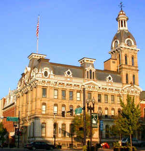
Wayne County is a county in the state of Ohio. Based on the 2010 census, the population was 114,520. Its county seat is Wooster. The
county is named for General "Mad" Anthony Wayne.
The Wooster, OH Micropolitan Statistical Area includes all of Wayne County.
Etymology - Origin of Wayne County Name
Residents named the county in honor General Anthony Wayne, the victor at the Battle of Fallen Timbers in 1794.
Demographics:
County QuickFacts: CensusBureau Quick Facts
Wayne County History
In 1796, the government of the Northwest Territory authorized the creation of Wayne County. Residents named the county in honor General Anthony Wayne, the victor at the Battle of Fallen Timbers in 1794. Among the county's earliest residents were members of the Amish Christian religious group.
Wayne County's Amish community is now one of the largest in the United States. Many other early settlers were of German origin. It is believed that Wayne County resident August Imgard put up the first Christmas tree in Ohio in 1847.
Wayne County is located in northeastern Ohio. It is predominantly rural, with less than two percent of the county's 555 square miles consisting of urban areas. The county seat is Wooster. With a population of 24,811 people, Wooster was the county's largest community in 2000. Wayne County experienced
a ten per cent increase in population between 1990 and 2000. The total population of the county in 2000 was 111,564 people. The county averages 201 people per square mile.
Manufacturing businesses employ the largest number of workers in Wayne County, but farming is a close second. Within Ohio, Wayne County farmers rank first in oat and hay production. Wayne County is the home of the Ohio Research and Development Center for Agriculture. In 1999, the per capita income
in the county was 23,776 dollars, with 8.8 percent of the people living in poverty.
Most voters in Wayne County claim to be independents.
Wayne County is home to the College of Wooster.
Sources
Wayne County, Ohio History Central, July 24, 2008,
http://www.ohiohistorycentral.org/entry.php?rec=2032&nm=Wayne-County
Geography: Land and Water
As reported by the Census Bureau, the county has a total area of 557 square miles (1,440 km2), of which 555 square miles (1,440 km2) is land and 1.9 square miles (4.9 km2) (0.3%) is water
Neighboring Counties
Bordering counties are as follows:
- Medina County (north)
- Summit County (northeast)
- Stark County (east)
- Holmes County (south)
- Ashland County (west)
Education
Central Christian High School
Chippewa High School
Dalton High School
Kingsway Christian School
Northwestern High School
Norwayne High School
Orrville High School
Rittman High School
Smithville High School
Triway High School
Waynedale High School
Wooster High School


Click Image to Enlarge
