


Click Image to Enlarge
Indiana Counties
Indiana is divided into ninety-two counties. The oldest and newest Counties in Indiana are Knox County (created 1790) and Newton County (created 1857).Many Indiana counties are named for the US Founding Fathers and personalities of the American Revolutionary War, the War of 1812 and Battle of Tippecanoe; early leaders of Indiana Territory and Indiana, as well as surrounding states like Michigan and Kentucky; plus Native American tribes and geographical features.Jackson County, Indiana
Jackson County Education, Geography, and History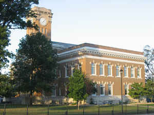
Jackson County is a county located in the state of Indiana. As of 2010, the population was 42,376. Jackson County was created on January 1, 1816. The county seat is Brownstown. The county is named for United States President Andrew Jackson.
Etymology - Origin of Jackson County Name
The county is named for General Andrew Jackson, hero of the Battle of New Orleans during the War of 1812 later becoming the 7th President of the United States.
Demographics:
County QuickFacts: CensusBureau Quick Facts
Jackson County History
Jackson County was the fourteenth to be organized in the Territory of Indiana and was formed form Washington and
Jefferson counties, the legislative act having been passed December 18, 1815. Jackson County was organized January 1,
1816. It was named for Andrew Jackson, who defeated the British in 1815 at the Battle of New Orleans in the War of 1812,
and later became President.
Jackson County is home to the second longest covered bridge in the United States. However, due to decades of neglect the
bridge is on the verge of collapse and has been closed to pedestrian traffic. Another long neglected covered bridge, the
Bells Ford Bridge, which was the last remaining Post Truss bridge in the world, succumbed to similar neglect, collapsing
into the White River on January 2, 2006.
Because the Bell's Ford Bridge used a metal truss it was able to be largely salvaged, however, the Commissioner
President Gary Darlage has been quoted as saying: "There is nothing left of the Bell Ford Bridge and I will not spend
another tax dollar on it. Ninety percent of the people in this county think it is asinine to even consider rebuilding
that bridge. By asking for any amount of money to be used on it, you are asking me to do something I don't believe is
right." Although it has been brought to Darlage's attention that federal funds could be used to restore the Bell's Ford
Bridge, Darlage has refused to request federal funds, saying, "I guess I'm just not a historic person. The average
taxpayer sees it as their tax money, even if it is federal money."
Jackson County is divided into 12 Civil Townships as follows: Brownstown, Carr, Driftwood, Grassy Fork, Hamilton, Jackson, Owen, Pershing, Redding, Salt Creek, Vernon and Washington.
Geography: Land and Water
As reported by the Census Bureau, the county has a total area of 514 square miles (1,331 km2), of which 509 square miles (1,319 km2) is land and 4 square miles (12 km2) (0.86%) is water.
Jackson county is located in south Indiana. Part of Hoosier National Forest and part of Muscatatuck National Wildlife Refuge are located in this county.
Neighboring Counties
Bordering counties are as follows:
- Northeast: Bartholomew County; Jennings County
- Southeast: Scott County
- South: Washington County
- West: Lawrence County
- Northwest: Monroe County; Brown County
Education


Click Image to Enlarge
