


Click Image to Enlarge
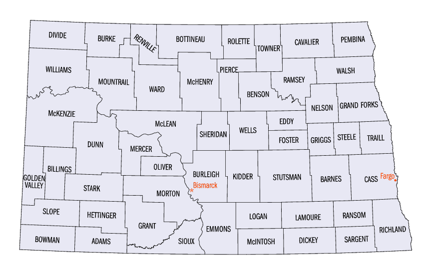
North Dakota Counties
There are fifty-three counties in the state of North Dakota. Pembina County was created by the 1866-1867 Dakota territorial legislature, and was organized on August 12, 1867. The city of Pembina, the oldest European-American settlement in the state, was the county seat from 1867 to 1911. The seat was relocated to Cavalier.Benson County, North Dakota
Benson County Education, Geography, and History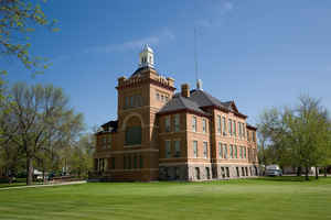
Benson County is a county located in the state of North Dakota. Based on the 2010 census, the population was 6,660. Its county seat is Minnewaukan. The county was created by the 1879 territorial legislature and named for B.W. Benson, a Dakota Territory legislator at the time. The county government was first organized on June 4, 1884
Etymology - Origin of Benson County Name
Named for Bertil W. Benson, a Valley City merchant and land dealer who served in the House of Representatives.
Demographics:
County QuickFacts: CensusBureau Quick Facts
Benson County History
Created by the 1879 territorial legislature named for Bertil W. Benson, a Valley City merchant and land dealer who served in the House of Representatives. Government organized: June 4, 1884. County Seat: Minnewaukan, 1884-present.
Geography: Land and Water
As reported by the Census Bureau, the county has a total area of 1,439 square miles (3,730 km2), of which 1,389 square miles (3,600 km2) is land and 51 square miles (130 km2) (3.5%) is water.
Neighboring Counties
Bordering counties are as follows:
- Towner County (north)
- Ramsey County (northeast)
- Nelson County (east)
- Eddy County (southeast)
- Wells County (southwest)
- Pierce County (west)
Education


Click Image to Enlarge
