


Click Image to Enlarge
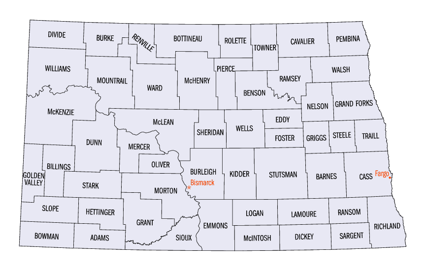
North Dakota Counties
There are fifty-three counties in the state of North Dakota. Pembina County was created by the 1866-1867 Dakota territorial legislature, and was organized on August 12, 1867. The city of Pembina, the oldest European-American settlement in the state, was the county seat from 1867 to 1911. The seat was relocated to Cavalier.Griggs County, North Dakota
Griggs County Education, Geography, and History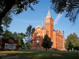
Griggs County is a county located in the state of North Dakota. Based on the 2010 census, the population was 2,420. Its county seat is Cooperstown. The county was founded in 1881 and later organized in 1882. It was named for Alexander Griggs.
Etymology - Origin of Griggs County Name
named for Alexander Griggs of Grand Forks (1838-1903), Red River steamboat man and local entrepreneur.
Demographics:
County QuickFacts: CensusBureau Quick Facts
Griggs County History
Created by the 1881 territorial legislature and named for Alexander Griggs of Grand Forks (1838-1903), Red River steamboat man and local entrepreneur. Government organized: June 16, 1882. County Seat: Hope, 1882; Cooperstown, 1882-present.
Geography: Land and Water
As reported by the Census Bureau, the county has a total area of 716 square miles (1,850 km2), of which 709 square miles (1,840 km2) is land and 7.6 square miles (20 km2) (1.1%) is water. It is the third-smallest county in North Dakota by land area and fourth-smallest by total area.
Neighboring Counties
Bordering counties are as follows:
- Nelson County (north)
- Steele County (east)
- Barnes County (south)
- Stutsman County (southwest)
- Foster County (west)
- Eddy County (northwest)
Education


Click Image to Enlarge
