


Click Image to Enlarge
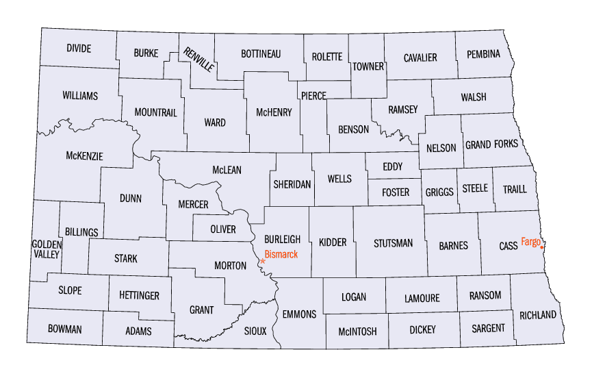
North Dakota Counties
There are fifty-three counties in the state of North Dakota. Pembina County was created by the 1866-1867 Dakota territorial legislature, and was organized on August 12, 1867. The city of Pembina, the oldest European-American settlement in the state, was the county seat from 1867 to 1911. The seat was relocated to Cavalier.Ward County, North Dakota
Ward County Education, Geography, and History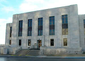
Ward County is a county located in the state of North Dakota. Based on the 2010 census, the population was 61,675, making it the
fourth-most populous county in North Dakota. Its county seat is Minot. The county was formed in 1885.
Ward County is part of the Minot, ND Micropolitan Statistical Area.
Etymology - Origin of Ward County Name
Named for Mark Ward (1844-1902) of Kimball, Brule County, South Dakota, chairman of the House committee on counties at that session.
Demographics:
County QuickFacts: CensusBureau Quick Facts
Ward County History
Created by the 1885 territorial legislature and named for Mark Ward (1844-1902) of Kimball, Brule County, South Dakota, chairman of the House committee on counties at that session. Government organized: November 23, 1885. County Seat: Burlington, 1885-1888, Minot, 1888-present.
Until 1908, Ward County included what is now Burke, Mountrail, and Renville counties; this landmass often being referred to as 'Imperial Ward' County and which was the largest county in the state at the time. In 1908, voters took up measures to partition the county. The results for that portion forming Mountrail County were accepted but a dispute over the results for the portions that would become Burke and Renville counties was taken to court and which resulted in favorable rulings in 1910. In addition, when the proposed county lines for Burke and Renville counties were drawn, neither group wanted to include Kenmare and risk that city becoming the county seat, so Kenmare was left in Ward County at the end of a narrow strip of land
Geography: Land and Water
As reported by the Census Bureau, the county has a total area of 2,056 square miles (5,330 km2), of which 2,013 square miles (5,210 km2)
is land and 43 square miles (110 km2) (2.1%) is water. It is the fifth-largest county in North Dakota by land area.
Much of the county is flat to rolling plains. The southern reaches of the county are dotted with numerous small lakes, water neither sloping
towards the Souris River basin nor Lake Sakakawea.
Neighboring Counties
Bordering counties are as follows:
- Renville County (north)
- McHenry County (east)
- McLean County (south)
- Mountrail County (west)
- Burke County (northwest)
Education


Click Image to Enlarge
