


Click Image to Enlarge
Ohio Counties
There is eighty-eight counties in the state of Ohio. Washington County the oldest in the state established on July 27, 1788. Noble County was formed on March 11, 1851 from portions of Guernsey, Morgan, Monroe and Washington counties. It was the last county to be formed in Ohio and, therefore, represents the youngest county in the state.Lawrence County, Ohio
Lawrence County Education, Geography, and History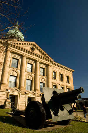
Lawrence County is a county located in the state of Ohio. Based on the 2010 census, the population was 62,450. Its county seat is
Ironton. The county was created in 1815 and later organized in 1817. It is named for James Lawrence, the naval officer famous for the line "do
not give up the ship".
Lawrence County is part of the Huntington-Ashland, WV-KY-OH Metropolitan Statistical Area, which is also included in the
Charleston-Huntington-Ashland, WV-OH-KY Combined Statistical Area
Etymology - Origin of Lawrence County Name
Residents named the county in honor of James Lawrence, a hero of the War of 1812.
Demographics:
County QuickFacts: CensusBureau Quick Facts
Lawrence County History
On December 21, 1815, the Ohio government authorized the creation of Lawrence County. Residents named the county in honor of James Lawrence, a hero of the War of 1812.
Lawrence County is located in southeastern Ohio. The county's southern border lies along the Ohio River, and Lawrence County is Ohio's southernmost county. It is predominantly rural, with three percent of the county's 455 square miles consisting of urban areas. The county is also in the heart of
Appalachia. The county seat is Ironton. With a population of 11,211 people, Ironton was the county's largest community in 2000. Like many of Ohio's more rural counties, Lawrence County experienced a decline in population- roughly one percent- between 1990 and 2000, reducing the total number of
residents to 62,319 people. The county averages 137 people per square mile.
The largest employers in Lawrence County are government positions and retail businesses. Farming ranks third, with service industries a distant fourth. During the nineteenth century, county residents earned money especially through coal and iron mining. Former slave owner and eventual abolitionist
John Means built the first iron blast furnace north of the Ohio River during the early 1820s. It was known as the Union Furnace and was located near Ironton. In 1999, the per capita income in the county was 17,691 dollars, with 20.1 percent of the people living in poverty. This is one of the highest
poverty rates in Ohio.
Most voters in Lawrence County claim to be independents, yet in recent years, they have supported Republican Party candidates at the national level.
Sources
Lawrence County, Ohio History Central, July 24, 2008,
http://www.ohiohistorycentral.org/entry.php?rec=1956&nm=Lawrence-County
Geography: Land and Water
As reported by the Census Bureau, the county has a total area of 457 square miles (1,180 km2), of which 453 square miles (1,170 km2) is land and 3.9 square miles (10 km2) (0.9%) is water. It is the southernmost county in the state of Ohio.
Neighboring Counties
Bordering counties are as follows:
- Jackson County (north)
- Gallia County (northeast)
- Cabell County, West Virginia (southeast)
- Wayne County, West Virginia (south)
- Boyd County, Kentucky & Greenup County, Kentucky (southwest)
- Scioto County (northwest)
Education

e

Click Image to Enlarge
