


Click Image to Enlarge
Ohio Counties
There is eighty-eight counties in the state of Ohio. Washington County the oldest in the state established on July 27, 1788. Noble County was formed on March 11, 1851 from portions of Guernsey, Morgan, Monroe and Washington counties. It was the last county to be formed in Ohio and, therefore, represents the youngest county in the state.Perry County, Ohio
Perry County Education, Geography, and History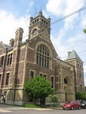
Perry County is a county located in the state of Ohio. Based on the 2010 census, the population was 36,058. Its county seat is New Lexington.
Founded on March 1, 1818, from parts of Fairfield, Washington and Muskingum counties, it was the 55th county to be formed in Ohio. The county is
named for Oliver Hazard Perry, a hero of the War of 1812.
Perry County is included in the Columbus, OH Metropolitan Statistical Area.
Etymology - Origin of Perry County Name
Residents named the county after Oliver Perry, a hero of the War of 1812.
Demographics:
County QuickFacts: CensusBureau Quick Facts
Perry County History
On December 26, 1817, the Ohio government authorized the creation of Perry County. Residents named the county after Oliver Perry, a hero of the War of 1812. Many of the county's earliest white residents were German migrants from Pennsylvania. Perry County is located in eastern Ohio. It is
predominantly rural, with less 1.5 percent of the county's 410 square miles consisting of urban areas. With a population of 4,689 people, New Lexington, the county seat, was the county's largest community in 2000. Perry County experienced a sizable increase in population- roughly eight
percent- between 1990 and 2000, raising the total number of residents to 34,078 people. Many residents of Ohio's rural communities are seeking better lives and more opportunities in the state's cities, but Perry County is growing in population. The county averages eighty-three people per square
miles.
The largest employer in Perry County is the government, with manufacturing businesses a close second. During the late nineteenth century, coal mining was a major business in the county. In 1884, miners, who were unhappy with their poor wages and working conditions, went on strike. Some of these men
set fire to a mine at New Straitsville, in the southern part of Perry County. This fire is still raging today. It caused the coal mining industry in Perry County to flounder. In 1999, the per capita income in the county was 16,313 dollars. Over fifteen percent of the people lived in poverty.
Most voters in Perry County claim to be independents, yet in recent years, they have supported Republican Party candidates by small margins at the national level.
Philip Sheridan, a Northern general during the American Civil War, ranks among Perry County's more prominent residents. He grew up in the town of Somerset. The county was also home to Father Edward Fenwick, the first Roman Catholic bishop in Ohio
Sources
Perry County, Ohio History Central, July 24, 2008,
http://www.ohiohistorycentral.org/entry.php?rec=1997&nm=Perry-County
Geography: Land and Water
As reported by the Census Bureau, the county has a total area of 412 square miles (1,070 km2), of which 408 square miles (1,060 km2) is land and 4.5 square miles (12 km2) (1.1%) is water.
Neighboring Counties
Bordering counties are as follows:
- Licking County (north)
- Muskingum County (northeast)
- Morgan County (southeast)
- Athens County (south)
- Hocking County (southwest)
- Fairfield County (west)
Education


Click Image to Enlarge
