


Click Image to Enlarge
Ohio Counties
There is eighty-eight counties in the state of Ohio. Washington County the oldest in the state established on July 27, 1788. Noble County was formed on March 11, 1851 from portions of Guernsey, Morgan, Monroe and Washington counties. It was the last county to be formed in Ohio and, therefore, represents the youngest county in the state.Warren County, Ohio
Warren County Education, Geography, and History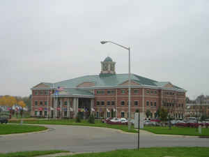
Warren County is a county located in Ohio. Based on the 2010 census, the population was 212,693. Its county seat is Lebanon. The county was
erected May 1, 1803, from Hamilton County, and named for Dr. Joseph Warren, a hero of the Revolution who sent Paul Revere on his ride and who
died at the Battle of Bunker Hill.
Warren County is part of the Cincinnati-Middletown, OH-KY-IN Metropolitan Statistical Area.
Etymology - Origin of Warren County Name
Residents named the county in honor of General Joseph Warren, a hero of the American Revolution.
Demographics:
County QuickFacts: CensusBureau Quick Facts
Warren County History
On March 24, 1803, the State of Ohio authorized the creation of Warren County. Residents named the county in honor of General Joseph Warren, a hero of the American Revolution. Many of the county's earliest settlers were members of various religious groups, including the Shakers and the Quakers.
Warren County is located in southwestern Ohio. The city of Cincinnati or its suburbs cover a portion of the county's four hundred square miles. The county's largest township is Deerfield Township, with a population of 25,515 people in 2000. Lebanon, the county seat, is the third largest urban area,
with a population of 16,962 people in 2000. Warren County experienced tremendous growth between 1990 and 2000. Between 1995 and 2000, approximately seventeen thousand people moved to Warren County, increasing the county's population to 158,383 residents. The county averages 396 people per square
mile.
Many Warren County residents work in Cincinnati. People finding employment in the county usually work in the sales, service, or manufacturing industries. A sizable tourist industry includes Paramount King's Island, the Ohio Historical Society's Fort Ancient, and the Ohio Renaissance Festival. In
1999, the per capita income was 28,402 dollars, with 5.6 percent of the population living in poverty.
Most voters in Warren County claim to be independents.
Warren County was home to Ohio Governors Jeremiah Morrow and Thomas Corwin.
Sources
Warren County, Ohio History Central, July 24, 2008,
http://www.ohiohistorycentral.org/entry.php?rec=2026&nm=Warren-County
Geography: Land and Water
As reported by the Census Bureau, the county has a total area of 407 square miles (1,050 km2), of which 401 square miles (1,040 km2) is land and 6.0 square miles (16 km2) (1.5%) is water. The county is a rough square with the sides roughly 20 miles (30 km) long.
Neighboring Counties
Bordering counties are as follows:
- Montgomery County (northwest)
- Greene County (northeast)
- Clinton County (east)
- Clermont County (south)
- Hamilton County (southwest)
- Butler County (west)
Education


Click Image to Enlarge
