

Click Image to Enlarge
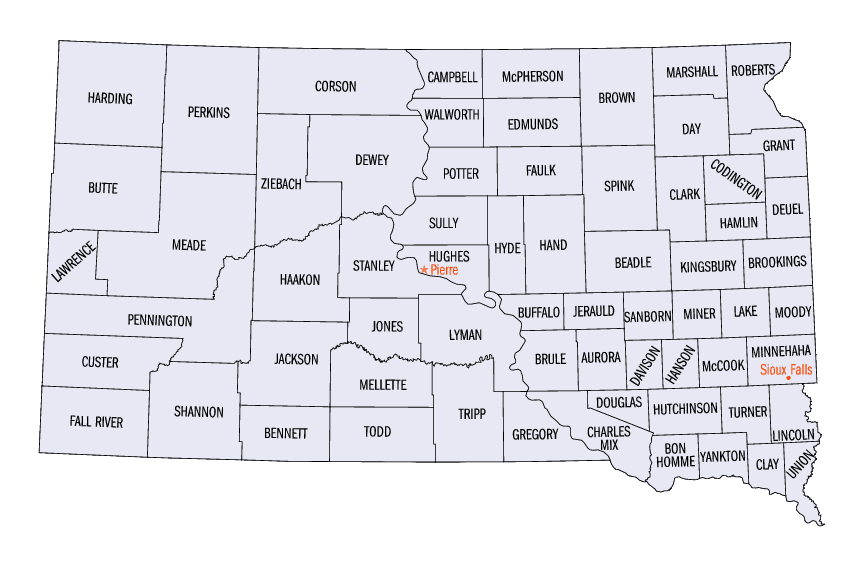
South Dakota Counties
There are sixty-six counties in the state of South Dakota. Todd County and Oglala Lakota County are the only counties in South Dakota which do not have their own county seatsDeuel County, South Dakota
Deuel County Education, Geography, and History
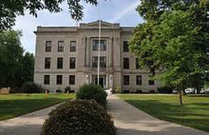
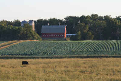
Deuel County is a county located in the state of South Dakota. Based on the 2010 census, the population was 4,364. Its county seat is Clear Lake. The county was created in 1862 and organized in 1878. It is named for Jacob Deuel, a legislator in 1862.
Etymology - Origin of Deuel County Name
Deuel is named for early settler Jacob S. Deuel.
Demographics:
County QuickFacts: CensusBureau Quick Facts
Deuel County History
Deuel County was created in 1862 and organized in 1874. A sawmill gave Jacob S. Deuel, for whom the county was named, a start in Dakota Territory in 1860. Gary was made the county seat and remained so until Clear Lake became a town of importance, when it was moved to Clear Lake. Clear Lake takes its name from a near-by lake. The town was settled in 1884 and incorporated in 1900.
Geography: Land and Water
As reported by the Census Bureau, the county has a total area of 637 square miles (1,649 km2), of which, 624
square miles (1,615 km2) of it is land and 13 square miles (34 km2) of it (2.07%) is water.
Neighboring Counties
Bordering counties are as follows:
- Grant County, South Dakota - north
- Lac Qui Parle County, Minnesota - northeast
- Yellow Medicine County, Minnesota - east
- Lincoln County, Minnesota - southeast
- Brookings County, South Dakota - south
- Hamlin County, South Dakota - southwest
- Codington County, South Dakota - northwest
Education


Click Image to Enlarge
