

Click Image to Enlarge
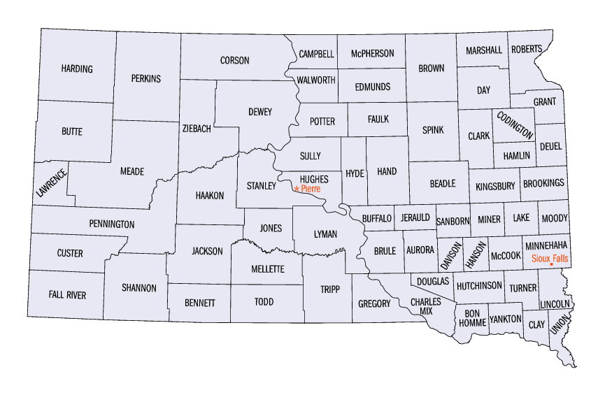
South Dakota Counties
There are sixty-six counties in the state of South Dakota. Todd County and Oglala Lakota County are the only counties in South Dakota which do not have their own county seatsOglala Lakota County, South Dakota
Oglala Lakota County Education, Geography, and History
Oglala Lakota County, known as Shannon County until May 2015, is a county located in the state of South Dakota. The population was 13,586
at the 2010 census. Oglala Lakota County does not have its own county seat. Instead, Hot Springs in neighboring Fall River County serves as
its administrative center. The county was created as a part of the Dakota Territory in 1875, although it remains unorganized. Its largest
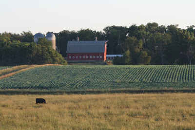
community is Pine Ridge.
The county is named after the Oglala Lakota, a band of the Lakota people. Many of the county's inhabitants are members of this sub-tribe.
Etymology - Origin of Oglala Lakota County Name
Shannon is named for Peter Shannon, a Chief Justice of the Territorial Supreme Court. On May 2015, the county is named after the Oglala Lakota, a band of the Lakota people. Many of the county's inhabitants are members of this sub-tribe.
Demographics:
County QuickFacts: CensusBureau Quick Facts
Oglala Lakota County History
Oglala Lakota was created as Shannon County in 1875, and organized and signed a Home Rule Charter in August of 1982. The county is entirely within the Pine Ridge Indian Reservation and contains part of Badlands National Park. It is one of five South Dakota counties entirely on an Indian reservation. (The others are Corson, Dewey, Todd, and Ziebach.)
The place of the 1890 Wounded Knee Massacre is located in Oglala Lakota County.
The county was originally named for Peter C. Shannon, Chief Justice of the Dakota Territory Supreme Court. Until 1982, Shannon County and
Washabaugh County, South Dakota, were the last unorganized counties in the United States. Although it was organized and received a home rule
charter that year, the county, as noted above, contracts with Fall River County for its Auditor, Treasurer, and Registrar of Deeds.
On November 4, 2014, voters in the county voted by a margin of 2,161 to 526 to rename Shannon County to Oglala Lakota County. The name change
was ratified by the state legislature on March 5, 2015. May 1st, 2015 was proclaimed by the governor as the official day for renaming the
county.
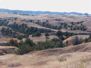
Geography: Land and Water
As reported by the Census Bureau, the county has a total area of 2,097 square miles (5,430 km2), of which,
2,094 square miles (5,423 km2) of it is land and 3 square miles (7 km2) of it is water. The total area is 0.13%
water.
The county includes the headwaters of the Little White River.
Neighboring Counties
Bordering counties are as follows:
- Pennington County, South Dakota - north
- Jackson County, South Dakota - northeast
- Bennett County, South Dakota - east
- Sheridan County, Nebraska - south
- Dawes County, Nebraska - southwest
- Fall River County, South Dakota - west
- Custer County, South Dakota - northwest
Education


Click Image to Enlarge
