

Click Image to Enlarge
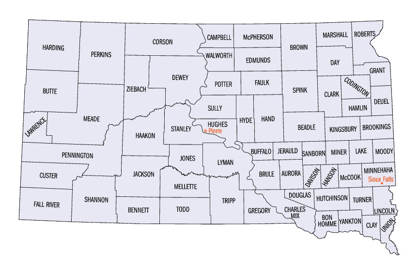
South Dakota Counties
There are sixty-six counties in the state of South Dakota. Todd County and Oglala Lakota County are the only counties in South Dakota which do not have their own county seatsYankton County, South Dakota
Yankton County Education, Geography, and History
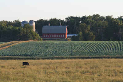
Yankton County is a county located in the state of South Dakota. Based on the 2010 census, the population was 22,438. Its county seat is
Yankton.
Yankton County comprises the Yankton, SD Micropolitan Statistical Area.
Etymology - Origin of Yankton County Name
Yankton is named for the Yankton Sioux Native American people.
Demographics:
County QuickFacts: CensusBureau Quick Facts
Yankton County History
Yankton County was named for the Yankton tribe of Sioux Indians who lived in this region at the time settlement was begun in 1858. The first legislature for Dakota Territory convened under the Governor's call at Yankton, March 17, 1862. At this session Yankton was made the permanent capital of the Territory and a bill was passed establishing Yankton County.
Geography: Land and Water
As reported by the Census Bureau, the county has a total area of 533 square miles (1,379 km2), of which, 522
square miles (1,351 km2) of it is land and 11 square miles (29 km2) of it (2.08%) is water. It is bordered by the
Missouri River.
Neighboring Counties
Bordering counties are as follows:
- Turner County, South Dakota - northeast
- Clay County, South Dakota - east
- Cedar County, Nebraska - southeast
- Knox County, Nebraska - southwest
- Bon Homme County, South Dakota - west
- Hutchinson County, South Dakota - northwest
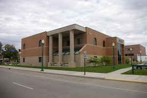
Education


Click Image to Enlarge
