


Kansas Geography: The Land
Geography and Landforms of Kansas
Find an overview of Kansas geography, topography, geographic land regions, land areas, and major rivers.
Access Kansas almanac, furnishing more details on the state geography, geographical and land regions, climate and weather, elevation, land areas, bordering states, and other statistical data.
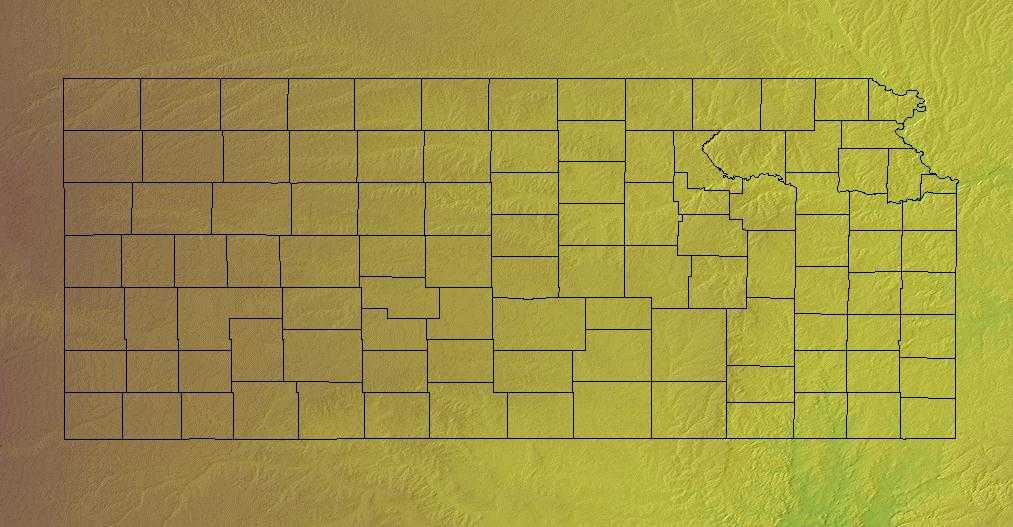
Kansas is bordered by Nebraska on the north and Oklahoma on the south. To the east is Missouri and to the west is Colorado. It is the 15th largest of the 50 states. The state is divided up into 105 counties with 628 cities. Kansas is one of the six states located on the Frontier Strip.
Kansas is almost rectangular in shape is lies mostly
in the Great Plains. The land consists of rolling plains. Major rivers include the Arkansas River, the Kansas River and the Missouri River.
The eastern part of the state receives the greatest amount of rainfall, and occasional dust storms plague farmers and ranchers in the west.
Kansas Highest, Lowest, & Mean Elevations |
|
|---|---|
| Mean Elevation | 2,000 ft. |
| Highest Point | Mt. Sunflower 4,039 ft. |
| Lowest Point | Verdigris River 679 ft. |
Kansas Land Area (Square Miles) |
|
| Geographic Center | In Barton County, 15 mi. NE of Great Bend Longitude: 98° 41.9'W Latitude: 38° 29.9'N |
| Total Area | 82,276.84 sq. mi. 15th |
| Land Area | 81,814.88 sq. mi. 99.44% |
| Water Area | 461.96 sq. mi. 0.56% |
| Forested Land Area | 3% |
| Dimensions (Length - Width) |
400 miles - 210 miles |
Kansas: Physiographic Regions
The eastern region of the state has many hills and forests. Kansas can be divided into three major geographic regions:
- Dissected Till Plains
- Southeastern Plains
- Great Plains
Dissected Till Plains
Located in the northeast part of the state this area is rich soil. It is an area to the north of the Kansas River and to the east of the Big Blue River. Rivers and streams have cut through the landscape in this area making high bluffs.
The Dissected Till Plains occupy much of Iowa, eastern Nebraska, northwest Missouri, and small parts of northwest Illinois, southern Minnesota, and northeast Kansas. This area was glaciated, uplifted, and subsequently eroded into a flat-to-rolling terrain that slopes gently toward the Missouri and Mississippi River Valleys. Natural vegetation is a mosaic of tallgrass bluestem prairie and oak-hickory forest with oak savannahs characteristic of transition zones. Bottomland hardwoods grow in river valleys.
Southeastern Plains
The Southeastern Plains consists of the Osage Plains and the Flint Hills to the west.
The Osage Plains, covering west-central Missouri, the southeastern third of Kansas, most of central Oklahoma, and extending into north-central Texas, is the southernmost of three tallgrass prairie physiographic areas. It grades into savannah and woodland to the east and south, and into shorter mixed-grass prairie to the west. The Osage Plains consist of three subregions. The Osage Plains proper occupy the northeast segment. Although sharply demarcated from the Ozark uplift, the Plains are nonetheless a transitional area across which the boundary between prairie and woodland has shifted over time. In the central portion of the physiographic area lies the second subregion, the Flint Hills. This large remnant core of native tallgrass prairie is a rocky rolling terrain that stretches from north to south across Kansas and extends into Oklahoma. To the west and south of these hills are the Blackland Prairies and Crosstimbers. This vegetatively complex region of intermixed prairie and scrubby cedar-mesquite woodland extends into north-central Texas. As in the rest of the Great Plains, fire, herbivory, topography, and drought maintained prairie and established the location of woodlands.
Great Plains
Covering the western half of the state, the land slopes up from east to west from about 1,500 feet above sea level to around 4,000 feet along the Colorado border. The High Plains in the west are a gently rolling landscape similar to the Southeastern Plains to the east but at a higher elevation. Mount Sunflower is the highest point in Kansas and is located in the Great Plains near the Colorado border.
Kansas Landscape and Landforms:
Central Mixed-grass Prairie
'The majority of the Central Mixed-grass Prairie occurs in central Kansas and Nebraska, with a small portion in southern South Dakota. The northern and western portions are covered by the Nebraska Sandhills, an area of rolling, irregular dunes interspersed with gently sloping valleys and numerous small wetlands. The remainder of the physiographic area is a dissected loess plain drained by several major rivers. Whereas all of the uplands are naturally mixed and tallgrass prairie communities, the larger river valleys support northern floodplain forests.
Central Shortgrass Prairie Physiographic Area
The Central Shortgrass Prairie Physiographic Area covers much of eastern Colorado and smaller portions of western Kansas, southwestern Nebraska, and southeastern Wyoming.
The region contains flat to gently rolling topography, with occasional canyons and bluffs. Elevations within Colorado range from about 975 m (3,200
ft.) in Prowers County to about 1800 m (6,000 ft.) around Limon and near the foothills of the Rockies. Principal rivers include the South Platte, Arikaree,
Big Sandy, Republican, and Arkansas. Precipitation is low, less than 50 cm (20 in) per year with most of that falling in spring and summer; total precipitation
varies greatly between years at a given location and varies significantly more than in mixed grass or tallgrass systems (Wiens 1972). Mean monthly
temperatures range from -12°C (10°F) in winter to 38°C (100°F) in summer. Localized severe weather is not uncommon, and blizzards,
hailstorms, and tornadoes occur in most years.
The dominant habitat in this physiographic area is shortgrass prairie. Shortgrass is dominated by two low-growing warm-season grasses, blue grama and
buffalo grass; western wheatgrass is also present, along with taller vegetation including widespread prickly-pear cactus and yucca, and cholla in the
south. Sandsage prairie is found where sandy soils occur, and is dominated by sand sagebrush and the grasses sand bluestem and prairie sand-reed. Mixed
grass (needle-and-thread, side-oats grama) and tallgrass (big bluestem, little bluestem, switchgrass) communities occur locally

