


Hawaii Geography: The Land
Geography and Landforms of Hawaii

Find an overview of Hawaii geography, topography, geographic land regions, land areas, and major rivers.
Access Hawaii almanac, furnishing more details on the state geography, geographical and land regions, climate and weather, elevation, land areas, bordering states, and other statistical data.
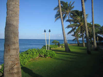
Hawaii, the only state not part of the mainland of North America, and the only US state located in the tropics, and is located approximately 2100 miles southwest of San Francisco. Hawaii is an archipelago of eight principal islands and numerous rocky islets, reefs, and shoals in the North Pacific Ocean.
The state of Hawaii is comprised of eight major islands: Hawaii, Maui, Kahoolawe, Molokai, Lanai, Oahu, Kauai, and Niiahu.
All of the islands were formed by volcanoes that rose from the ocean floor.
Hawaii Highest, Lowest, & Mean Elevations |
|||
|---|---|---|---|
| Mean Elevation | 3,030 ft. | ||
| Highest Point | Puu Wekiu, Mauna Kea 13,796 ft. |
||
| Lowest Point | Pacific Ocean Sea level |
||
Hawaii Land Area (Square Miles) |
|||
| Geographic Center | Between islands of Hawaii and Maui Longitude: 157° 15.6'W Latitude: 20° 57.1'N |
||
| Total Area | 10,930.98 sq. mi. 43rd |
||
| Land Area | 6,422.62 sq. mi. | ||
| Water Area | 4,508.36 sq. mi. 41.24% |
||
| Forested Land Area | 42.5% | ||
| Dimensions (Length - Width) |
1600 miles - 93 miles | ||
Eight (8) Major Islands include Hawaii Landscape and Landforms: Hawaii, Maui, Kahoolawe, Molokai, Lanai, Oahu, and Kauai
Hawaii
Dominating this land area are five huge volcanoes including, Mauna Loa and Kilauea, two of the world's most active volcanoes. These volcanoes are also the two highest points in the state. The island of Hawaii is often called "Big Island". Out of the eight islands it is the largest (4,038 square miles) and the youngest.
Hilo, the island's largest city and chief port, is located in the northeast. Ka Lae or "South Cape" is the southern most point of the United States. Cliffs rim the northeastern and southeastern coasts of the Big Island.
Maui
Maui is often called the Valley Island because of the many canyons that cut into the two mountains. It was formed by two volcanoes. A low isthmus passes between the two mountains creating a fertile area for growing sugar cane. The highest point on Maui is Haleakala. It also contains the world's largest dormant volcanic crater. Haleakala is considered active and is expected to erupt sometime within the next 200 years. It is the second largest island.
Kahoolawe
This island is uninhabited and is the smallest of the eight islands. The lowland is not very fertile. The island of Niihau, just west of Kauai, has been privately owned since 1864 when it was purchased from the Hawaiian kingdom by an American family. At one time it served as a prison and military target range. It is made up of dry lowland and is suitable for cattle grazing.
Molokai
This island is mountainous and lies between Oahu and Maui. There is a rocky mountain wall the divided the north coast from the rest of the island. The land is suitable for cattle ranches and pineapple plantations. The chief port is Kaunakakai.
Lanai
Lanai is dependent on pineapple production and tourism for most of its income and employment. The island's main city is Lanai City, it is a unique village of quaint plantation houses originally built by the Dole Pineapple Company.
Oahu
The capital of Hawaii, Honolulu, is located on Oahu and most of the people of Hawaii (75%) live here. Oahu consists of two mountain ranges and separated by a wide valley. This valley is a fertile farming area in which pineapple and sugarcane plantations thrive. Pearl Harbor is on the southern coast of Oahu. It is one of the largest natural harbors in the Pacific and home to the US Pacific Fleet.
Kauai
Kauai is a circular shaped island with the 5,170 foot Kawaikini Peak in the center. It is known as the "Garden Island". It is a lush island that contains one of the world's rainiest spots. Mount Waialeale receives 460 inches of rain annually. Sugarcane and pineapple thrive on Kauai.

