


Click Image to Enlarge
Idaho Counties
There are forty-four Counties in Idaho. When Idaho became a territory in March, 1863, there were four Counties in existence: Boise, Idaho, Nez Perce and Shoshone. By the time Idaho became a state, there were 15 counties. The rest of the 44 Counties came into existence during the 30 years after Idaho became a state. Two of the former counties disappeared during this time. Alturas, which was created in 1864, was later divided into the many counties now found in central Idaho. Logan County was only in existence for six years, from 1889 to 1895. It was combined with Alturas to form Blaine County and Lincoln County, which was formed just two weeks after Logan lost its identity.Minidoka County, Idaho
Minidoka County Education, Geography, and History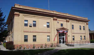
Minidoka County is a county located in the state of Idaho. Based on the 2010 census, the
population was 20,069. Minidoka County was
created on January 28, 1913. The county
seat and
largest city is Rupert. The county is named for either
the Lakota for "a fountain or spring of water" or Shoshoni for "broad
expanse".
Minidoka County is part of the Burley, ID Micropolitan Statistical Area.
Etymology - Origin of Minidoka County Name
Minidoka County is named for a Dakota Sioux word for "a fountain or spring of water".
Demographics:
County QuickFacts: CensusBureau Quick Facts
Minidoka County History
Established January 28, 1913 with its county seat at Rupert. Named directly for the first settlement, Minidoka, a railroad siding. The name is Indian, but the exact meaning is in dispute. Some believe that Minidoka means "well, spring" but there was not a source of water such as a well or spring until 1946. Others say the word is Shoshoni and means "broad expanse," because the broadest portion of the Snake River Plain lies here.
Geography: Land and Water
As reported by the Census Bureau, the county has a total area of 763 square miles (1,980 km2), of which 758 square miles (1,960 km2) is
land and 5.3 square miles (14 km2) (0.7%) is water.
Minidoka county is located close to the center of Idaho. The county is part of the Magic Valley region of the Snake River Plain. Irrigated farmland covers the southern part of the county, while lava beds
cover the northern portion.
The elevation is generally in the range of 4,200 feet (1,300 m) to 4,500 feet (1,400 m). The Snake River forms the county's southern boundary.
Neighboring Counties
Bordering counties are as follows:
- South: Cassia County
- Southwest: Jerome County
- Northwest: Lincoln County; Blaine County
Education
The only public high school in the county is Minico High School near Rupert.


Click Image to Enlarge
