


Click Image to Enlarge
Idaho Counties
There are forty-four Counties in Idaho. When Idaho became a territory in March, 1863, there were four Counties in existence: Boise, Idaho, Nez Perce and Shoshone. By the time Idaho became a state, there were 15 counties. The rest of the 44 Counties came into existence during the 30 years after Idaho became a state. Two of the former counties disappeared during this time. Alturas, which was created in 1864, was later divided into the many counties now found in central Idaho. Logan County was only in existence for six years, from 1889 to 1895. It was combined with Alturas to form Blaine County and Lincoln County, which was formed just two weeks after Logan lost its identity.Shoshone County, Idaho
Shoshone County Education, Geography, and History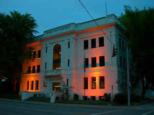
Shoshone County is a county located in the state of Idaho. Based on the 2010 census, the
population was 12,765. The county was created in 1864. The
county seat is Wallace, and the
largest city is Kellogg. Shoshone is named for the Native American Shoshone tribe.
Shoshone County is commonly referred to as the Silver Valley, due to its century-old mining history. The Silver Valley is famous nationwide
for the vast amounts of silver, lead, and zinc mined from it.
Etymology - Origin of Shoshone County Name
Shoshone County is named for the Shoshone Native American tribe.
Demographics:
County QuickFacts: CensusBureau Quick Facts
Shoshone County History
Established February 4, 1864 with its county seat at Pierce. In 1885 the county seat was moved to Murray , in
1890 to Osborn, and finally to Wallace in 1893. The first organized unit of government within Idaho boundaries,
created and named for the Shoshoni Indians in 1858 by the Washington Territorial Legislature as part of
Washington, effective in 1861.
Geography
As reported by the Census Bureau, the county has a total area of 2,635 square miles (6,820 km2), of which 2,630 square miles (6,800 km2) is land and 5.5 square miles (14 km2) (0.2%) is water.
Shoshone county is located in north Idaho. Part of Clearwater National Forest, Coeur d'Alene National Forest and St. Joe National Forest are located in this county.
Neighboring Counties
Bordering counties are as follows:
- Northeast: Sanders County, Mont.
- Southeast: Mineral County, Mont.
- South: Clearwater County
- Southwest: Latah County
- West: Benewah County
- Northwest: Kootenai County; Bonner County
Education


Click Image to Enlarge
