


Iowa Geography: The Land
Geography and Landforms of Iowa
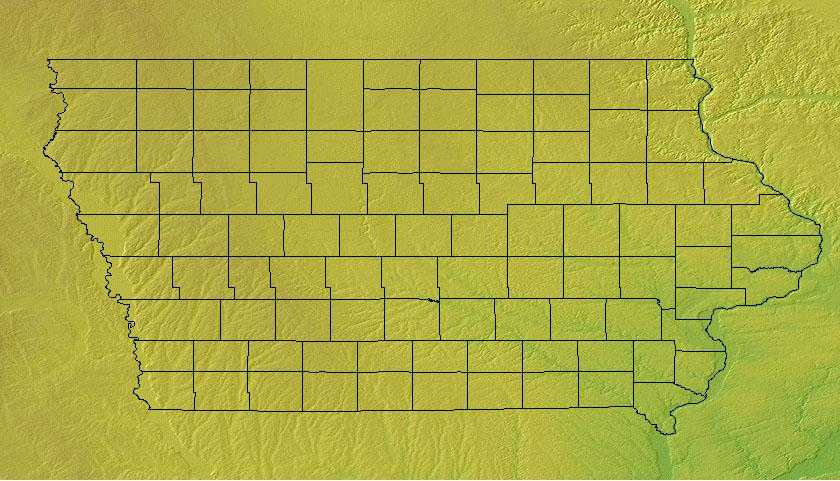
Find an overview of Iowa geography, topography, geographic land regions, land areas, and major rivers.
Access Iowa almanac, furnishing more details on the state geography, geographical and land regions, climate and weather, elevation, land areas, bordering states, and other statistical data.
Iowa is bordered by Minnesota on the north and by Missouri in the south. On the eastern border lie Wisconsin and Illinois, and South Dakota and Nebraska are on the west. The highest point in Iowa is on a farm in Osceola County and is 1,670 feet above sea level. Major rivers include the Mississippi, the Missouri, the Iowa, the Des Moines and the Cedar Rivers.
Iowa has some of the most fertile top soil in the world.
Iowa Highest, Lowest, & Mean Elevations |
|
|---|---|
| Mean Elevation | 1,100 ft. |
| Highest Point | Sec. 29, T100N, R41W, Osceola County 1,670 ft. |
| Lowest Point | Mississippi River 480 ft. |
Iowa Land Area (Square Miles) |
|
| Geographic Center | Located in Story County, 5 miles NE of Ames. Longitude: 93° 23.1'W Latitude: 41° 57.7'N |
| Total Area | 56,271.55 sq. mi. 26th |
| Land Area | 55,869.36 sq. mi. 99.29% |
| Water Area | 402.2 sq. mi. 0.71% |
| Forested Land Area | 5.7% |
| Dimensions (Length - Width) |
310 miles - 200 miles |
Iowa: Physiographic Regions
The state can be divided into three main regions:
- the Young Drift Plains,
- the Driftless Area and the
- Dissected Till Plains.
Young Drift Plains
The Young Drift Plains cover most of northern and central Iowa are mostly flat, fertile lands. This land was covered by clay, sand, gravel, and rocks, called drift, left by glaciers during the ice age. This drift became some of the most fertile topsoil in the world. Where the drift was not spread evenly by the glaciers, lakes and swamps filled the hollows in the land.
Driftless Areas
In northeastern Iowa, parallel with the Mississippi River, lies the Driftless Area. This area was not flattened to the extent of the Young Drift Plains and is characterized by rugged hills and cliffs. What drift that was deposited in this area has been blown or washed away. The soil is thin and not suited to farming. The pine-forested hills are beautiful, however and great for outdoor recreation. It is referred to as The Switzerland of America by Iowans.
Dissected Till Plains
The Dissected Till Plains stretch across the southern part of Iowa and extend north, along the Missouri and Big Sioux rivers into northwestern Iowa. Ice age glaciers left glacial "drift" consisting of clay, sand, gravel, and boulders intermingled. This deposit is called till. Over thousands of years, rivers and streams cut into (disected) the terrain forming low, rolling hills and ridges. Bluffs, 100 to 300 feet high formed from wind-blown soil, rise above the Missouri River.
Natural vegetation is a mosaic of tall grass bluestem prairie and oak-hickory forest with oak savannahs characteristic of transition zones. Bottomland hardwoods grow in river valleys.
Iowa Landscape and Landforms:
Northern Tallgrass Prairie
This is the easternmost and lushest region of the Great Plains at this latitude. It includes north-central Iowa, south- central and western Minnesota, the Red River Valley of North Dakota, and extends into south- central Manitoba. Tallgrass prairie grades into savannah on its eastern boundary. The transition zone has doubtlessly shifted over time with changes in the patterns of fire, drought, and herbivory that maintain the prairie. Similar forces affect the boundary with Aspen Parkland to the northeast and north. Drier conditions result in shorter grasses as the tallgrass gives way to the Mixed Grass Prairie at the western edge of the Red River Valley. The entire Northern Tallgrass was subjected to recent glaciation, resulting in a dense distribution of wetland depressions away from the geologically younger river valleys. The southernmost border of this glaciation created the boundary between this physiographic area and the Dissected Till Plains.
Upper Great Lakes Plain
The Upper Great Lakes Plain covers the southern half of Michigan, northwest Ohio, northern Indiana, northern Illinois, southern Wisconsin, and small portions of southwest Minnesota and northwest Iowa. Glacial moraines and dissected plateaus are characteristic of the topography. Broadleaf forests, oak savannahs, and a variety of prairie communities are the natural vegetation types. A "Driftless Area" was not glaciated during the late Pleistocene and emerged as a unique area of great biological diversity.
The Lower Peninsula is fairly level but some low rolling hills can be found in the south. To the north this changes to a northern tableland of hilly belts. The lowest point in Michigan, along the shore of Lake Erie is found in the Lower Peninsula.

