


Oklahoma Geography: The Land
Geography and Landforms of Oklahoma
 Find an overview of Oklahoma geography,
topography, geographic land regions, land areas, and major rivers.
Find an overview of Oklahoma geography,
topography, geographic land regions, land areas, and major rivers.
Access Oklahoma almanac furnishing more details on the state geography, geographical and land regions, climate and weather, elevation, land areas, bordering states, and other statistical data.
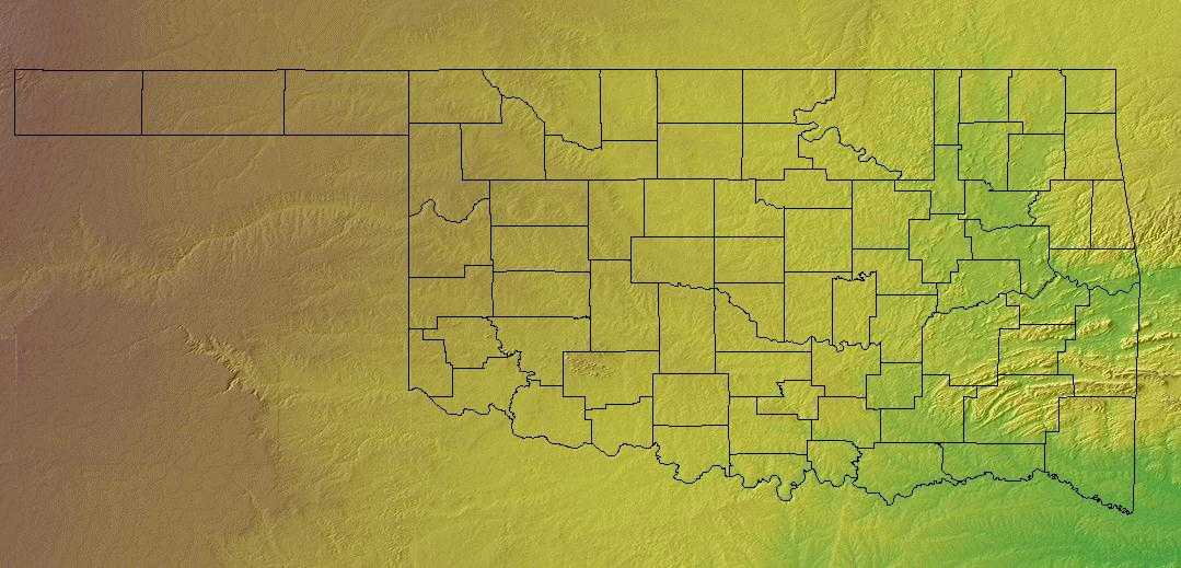
Oklahoma is the smallest of the southwestern states. Its landscape consists primarily of flat plains and low hills broken here and there by mountains, ridges, and regions of low-rising hills.
Two large river systems - the Red and the Arkansas - drain the entire state, carrying water from Oklahoma's rivers and streams to the Gulf of Mexico. The Red River forms the state's southern boundary with Texas and the Arkansas flows through the northeastern part of the state.
Oklahoma Highest, Lowest, & Mean Elevations |
|
|---|---|
| Mean Elevation | 1,300 ft. |
| Highest Point | Black Mesa 4,973 ft. |
| Lowest Point | Little River 289 ft |
Oklahoma Land Area (Square Miles) |
|
| Geographic Center | In Oklahoma County, 8 mi. N of Oklahoma City Longitude: 97° 39.6'W Latitude: 35° 32.2'N |
| Total Area | 69,898.19 sq. mi. 20th |
| Land Area | 68,667.06 sq. mi. 98.24% |
| Water Area | 1,231.13 sq. mi. 1.76% |
| Forested Land Area | 17.4% |
| Dimensions (Length - Width) |
400 miles - 220 miles |
Oklahoma: Physiographic Regions
The Geography of Oklahoma encompasses terrain and ecosystems ranging from arid plains to subtropical forests and mountains. Much of Oklahoma consists of level plains, but the state also has rugged hills and mountains covered by green forests. It also has fertile farmland. Oklahoma has more than 300 lakes and almost 23,000 miles (37,015 km) of rivers and streams. Its land is drained by two great river systems-the Red and the Arkansas. The landscape of Oklahoma comprises ten land divisions:
- The Ozark Plateau
- Prairie Plains
- Ouachita Mountains
- Sandstone Hills Region
- The Arbuckle Mountains
- The Wichita Mountains
- 'The Red River Valley Region
- Red Beds Plains
- The Gypsum Hills
- The High Plains
Ozark Plateau
This region is in the northeastern part of the state, is a part of the Missouri and Arkansas landscape. The landscape is made up of rivers with steep valley walls separated by broad flat areas.
Prairie Plains
The Prairie Plains lie west and south of the Ozark Plateau. Most of the state's coal and oil are produced here. Farms in the Arkansas River Valley are located here and spinach, beans and carrots are produced east of Muskogee.
Ouachita Mountains
The Ouachita Mountains lie in the southeastern part of Oklahoma on the border of Arkansas. They consist of sandstone ridges that run east to west and form some of the most rugged land in Oklahoma. Also, running through narrow valleys between the ridges are spring-fed streams.
Sandstone Hills Region
The Sandstone Hills Region extends south from the Kansas border to the Red River. This region is located in the north central part of Oklahoma. Early oil development was started in this region. The Blackjack and Post Oak forests cover part of this area and the Sandstone Hills are from 250 to 400 feet high.
Arbuckle Mountains
This area is made up of about 1,000 square miles located in south-central Oklahoma. Erosion in the mountains has caused unusual rock formations in this area. The mountains are about 600 to 700 feet above the plains. This area of Oklahoma is used for cattle grazing.
Wichita Mountains
The Wichita Mountains region lies in southwestern Oklahoma. It consists of rough granite peaks and many small artificial lakes. People created the lakes by damming the mountain streams. The lakes today provide water for animals and also help to control soil erosion.
Red River Valley
This Red River Valley, in southern Oklahoma near Texas, is a rolling prairie known for its sandy and fertile soil. Vegetables, cotton and peanuts are grown here. Also in this area you will find some forested hills.
Red Beds Plains
The largest land region in Oklahoma run from the Kansas border (north) and go south through the center of the state. The east has some forested areas and the west area is covered with grass.
Gypsum Hills
The Gypsum Hills shine in the sun because of the gypsum content and because of this are sometimes called the Glass Hills. The Hills are low, 150 to 200 feet and the hills are capped with 15 to 20 foot layers of gypsum. They are west of the Red Beds Plains and run north to the High Plains.
High Plains
This region are level grasslands. They rise from 2,000 feet above sea level in the east to 4,973 feet above sea level in the west at the Black Mesa. The Oklahoma Panhandle is located in the region. This strip of land is 166 miles long and is 34 miles wide between Colorado and Kansas in the north and Texas in the south.
Oklahoma Landscape and Landforms:
Oaks and Prairies
The Oaks and Prairies extend from approximately the Red River of Oklahoma south to San Antonio, Texas, east to the acidic sandy soils of the East Texas Pineywoods and west to the Eastern Cross Timbers. Within this area, the Texas Blackland Prairie represents the southernmost extension of the North American tallgrass prairie. In this subregion, the principal habitat is tallgrass that typically occurs on higher areas with good drainage. Eleven plant associations have been described in the Blackland Prairie, and dominant vegetation includes big bluestem, little bluestem, Indiangrass, switchgrass, brownseed paspalum, and gramagrass. Also present in the Oaks and Prairies physiographic area are bottomland hardwood forests, where burr oak, Shumard oak, black walnut, American elm, cedar elm, and white ash are common components. Riparian forests include cottonwood, sycamore, black willow, and green ash. Common trees of upland hardwood forests occurring on the upper slopes and summits of Austin chalk escarpments include Texas oak, San Saba oak, Mexican plum, and cedar elm. There is often an associated dense scrub layer within these forests, including species such as aromatic sumac, poison oak, Carolina buckthorn, and coralberry. There are occasional wetlands and freshwater marshes in the Oaks and Prairies area, primarily associated with the peripheral areas of streams, rivers, and reservoirs.
Pecos and Staked Plains
The Staked and Pecos Plains cover the western panhandle of Texas, the west end of the panhandle of Oklahoma, and extensive areas in eastern New Mexico. These high and dry plains are covered with a shortgrass prairie dominated by grama and buffalo grasses. There are also extensive areas of shinnery, a midgrass prairie with low shrubs. The area grades into taller grass to the east, to Trans-Pecos shrub savannah to the south, and more chaparral and pinyon-juniper in the Mesas and Plains area to the west. The northern border of Oklahoma is established as an arbitrary northern limit.
Rolling Red Plains
The Rolling Red Plains extend north from the Edwards Plateau in Texas to western sections of Oklahoma. The landscape is flat to rolling plains, with natural vegetation consisting of mixed grass plains, short grass high plains, shinnery oak grasslands, and mesquite grasslands plains. The mixed grass plains association is the transition zone between the tall grass prairie association and other associations that are located in the western part of the physiographic area. Grasses and forbs are the dominant vegetation. The shinnery oak grasslands are located in broad rolling topographic relief of the western and northern part of the area. Oak mottes occur throughout broad expanses of tall, mixed, or short grasses. The mesquite- grassland type is perhaps the most extensive of communities in the area. This association typically occurs on flat to gently rolling topography, and is characterized by open canopy of short mesquite trees with an understory of prickly pear and thorny scrub. These natural communities were maintained by a variety of harsh weather events, including severe winter weather, cycles of hot temperatures and drought, and tornadoes.
West Gulf Coastal Plain
The West Gulf Coastal Plain covers northwest Louisiana, southwest Arkansas, easternmost Texas, and the southeast corner of Oklahoma. In general, uplands are dominated by pines and bottomlands by hardwood forests. The pine is originally longleaf in the southern portion and shortleaf with a significant hardwood element in the northern portion. The southern edge of the physiographic area occurs where trees become less dominant and the grasslands of the Coastal Prairies begin. The West Gulf Coastal Plain extends east to the Mississippi Alluvial Valley and north to edge of the Ouachita highlands. Drier climate and changing soils to the west mark the edge of the distribution of pine in eastern Texas and the beginnings of the Oaks and Prairies physiographic area.

